Salinas
Camino del Norte
To end of camino
311.4
Altitude
10
Services
ATM
Yes
Bus
Yes
Grocery
Yes
Pharmacy
Yes
Train
Yes
The camino misses the beach at Salinas, which is a shame — the 2.5 km strand is popular with surfers and lined with the best restaurants and sidrerías in the area. The boardwalk runs the full length. At the far end, the camino begins one of the steepest climbs on the Norte — mercifully only 600 m long — to the Iglesia de San Martín at the top.
The Road
At the end of Salinas the camino begins one of the steepest and most challenging climbs of the camino. It is only 600m long but you will be glad to reach the Iglesia de San Martín at the top.
City Map
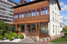
Accommodation in Salinas.
| Hostel El Pez Escorpión 20-25€ Booking.com |
Comments